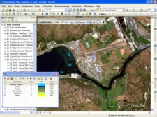
Expeditio received a one year license for using the latest version of ArcGIS software throught the Esri Nonprofit Organization Program.
ArcGIS is widely used for visualizing, analyzing and interpreting data related to a precise geographical location. Information such as distance from a residential neighborhood to a school, size and position of green surfaces or availability of bicycling lanes can be precisely marked and clearly visually represented, making it easier to understand how it affects future interventions in physical space.
The Esri Nonprofit Organization Program is s designed to provide nonprofit organizations around the world an affordable means of acquiring ArcGIS software and services for organized volunteer efforts. More information about this program can be found at:
http://www.esri.com/nonprofit/index.html


